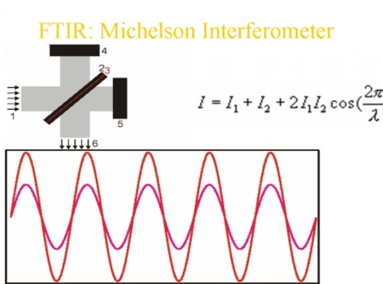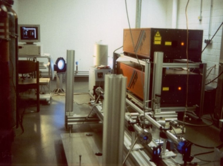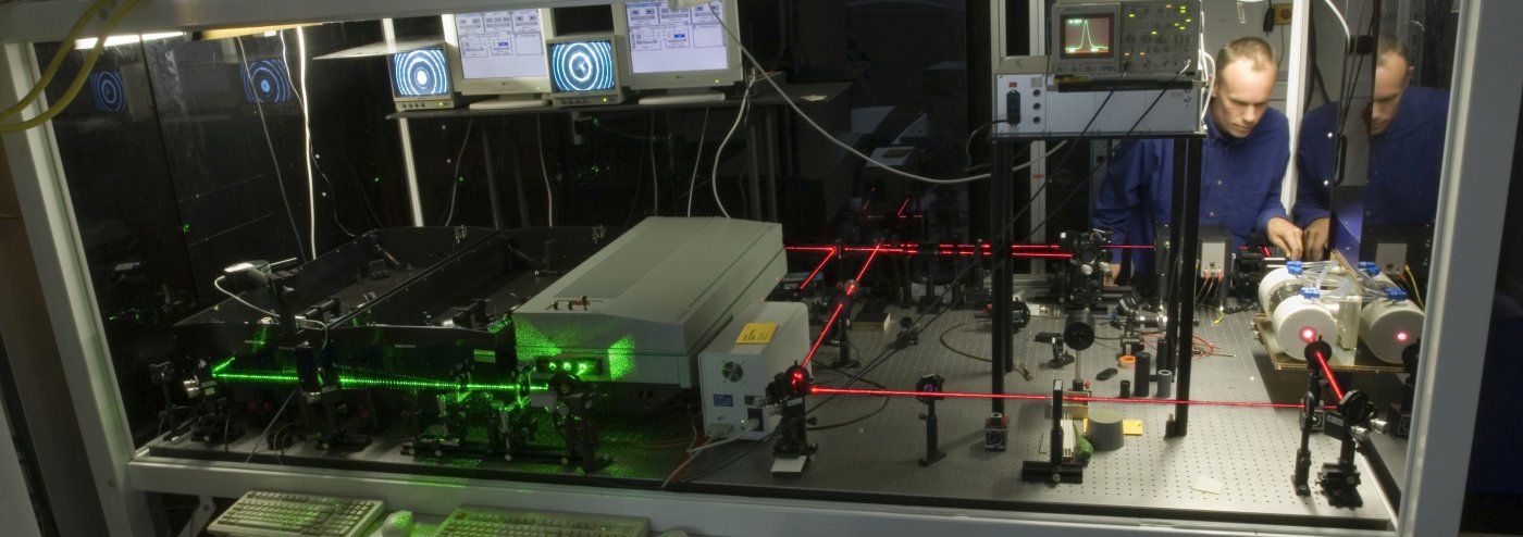
Ground-based Atmospheric Sounding Techniques
Ground-based remote sounding (FTIR, Lidar, GPS, etc.) is used for long-term measurements at observatories within international networks of ozone relevant trace species (O3, ClONO2, HCl, COF2, HF, NO2, HNO3, etc.), tropospheric chemistry compounds (CO, NO2, NO, O3, etc.), climate and Kyoto gases (CO2, CH4, N2O, H2O, CFCs, etc.), as well as aerosols and physical/meteorological parameters. The measurements cover the altitude range between the boundary layer and the stratosphere/mesosphere. The data products comprise surface concentrations, total columns, partial columns profiles, and high-resolution vertical profiles.
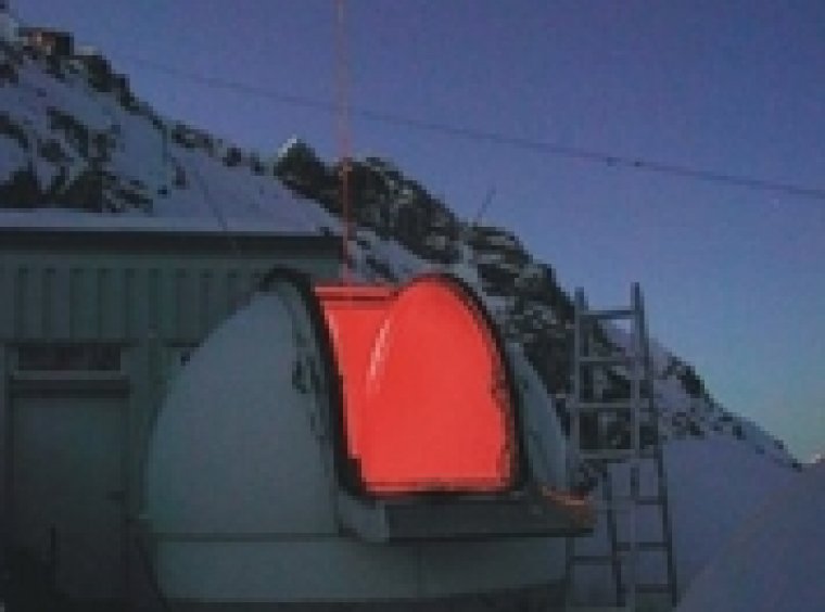
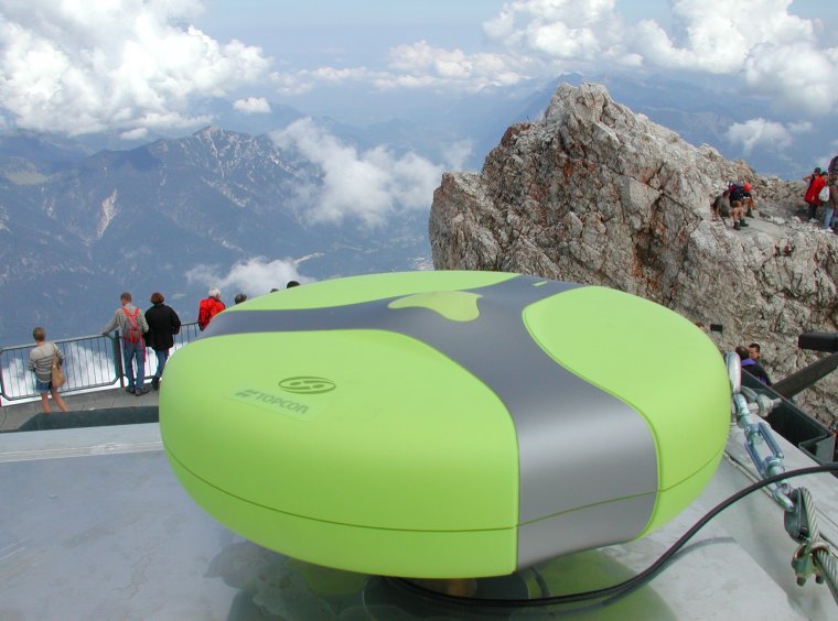
The instruments and retrieval algorithms are continuously refined, dedicated to changing research applications. Current developments are the implementation of high-precision column soundings of Kyoto gases, water vapor soundings, and the algorithmic optimization of the ground-based soundings for validation of the atmospheric chemistry mission ENVISAT, and validation of the greenhouse gas satellite GOSAT within the framework of the Permanent Ground-Truthing Facility Zugspitze/Garmisch.
Recently, we have shown an early example for the possible synergetic use of ground-based soundings together with satellite measurements.